Trail Walking La Chaux - la petite chaux - Photo
© OpenStreetMap contributors
Length
Length
15.1 km
Max alt
Max alt
1026 m
Uphill gradient
Uphill gradient
376 m
Km-Effort
Km-Effort  
20 km
Min alt
Min alt
822 m
Downhill gradient
Downhill gradient
377 m
Boucle
Boucle
Yes
Creation date :
2023-01-04 09:30:07.344
Updated on :
2023-01-09 17:08:15.55

(1 Reviews)

Walking
Walking
2h40
Difficulty : Easy

Scan this QR Code to open this trail in the SityTrail application

FREE GPS app for hiking

Logo SityTrail SityTrail

IGN / Geographical institutes

Download SityTrail from the App Store Download SityTrail from Google Play

Logo SityTrail SityTrail World

The world is yours!

Download SityTrail from the App Store Download SityTrail from Google Play Download SityTrail on Huawei AppGallery

About

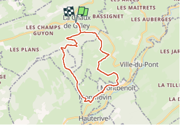
Trail Walking of 15.1 km to be discovered at Bourgogne-Franche-Comté, Doubs, La Chaux. This trail is proposed by eltonnermou.

Description

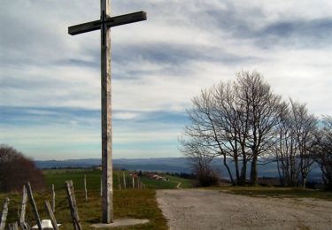
petite précision : faites le détour par le centre de Montbenoit pour aller voir l'abbaye. Cet A/R à l'abbaye de Montbenoit vous ferez 16km et 400m dénivelé (environ).
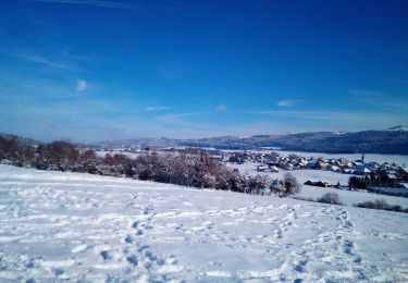
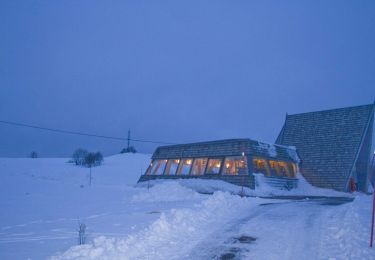
randonnée pieds propres, à faire à la "mauvaise" saison.
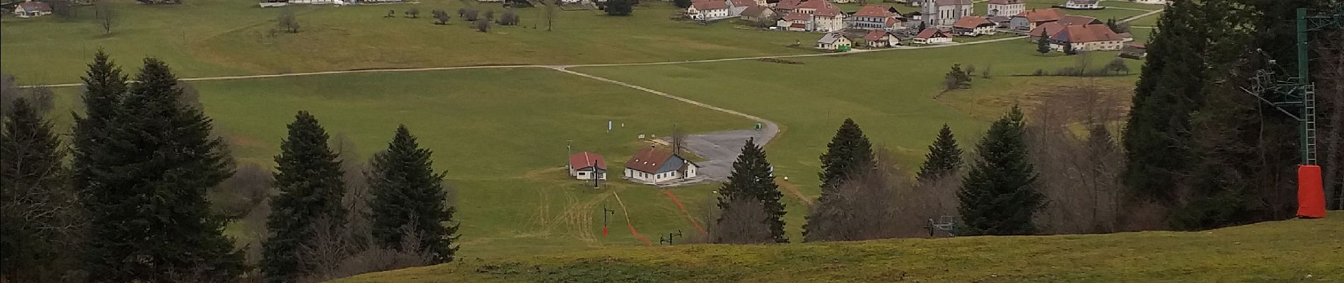
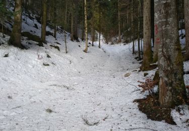
Belle randonnée à travers une (très petite) partie du plateau du Haut-Doubs. Profitez de la vue tout au long du cheminement.

Elevation profile

Photos

Positioning

Country:
France
Region :
Bourgogne-Franche-Comté
Department/Province :
Doubs
Municipality :
La Chaux
Location:
Unknown
Start:(UTM)
304957 ; 5210925 (32T) N.

Comments

Please log in to post a review or rate the element


Trails nearby

Trail Walking Arc-sous-Cicon - CRET MONNIOT - Photo
Walking
legios84

Walking

Medium
Arc-sous-Cicon, Bourgogne-Franche-Comté, Doubs, France
19.4 km | 26 km-effort
3h 40min
Yes
Trail Snowshoes Arc-sous-Cicon - ARC SOUS CICON
Snowshoes
legios84

Snowshoes

Easy
Arc-sous-Cicon, Bourgogne-Franche-Comté, Doubs, France
9.4 km | 12.9 km-effort
2h 41min
Yes
Trail Snowshoes La Chaux - Cret Moniot raquettes CAF - Photo
Snowshoes
TRIMAILLE

Snowshoes

Difficult
La Chaux, Bourgogne-Franche-Comté, Doubs, France
14.8 km | 19.9 km-effort
5h 52min
Yes
Trail Walking Arc-sous-Cicon - Le Crêt Monniot (1141 m) depuis Les Cordiers - Photo
Walking
tracegps

Walking

Medium
Arc-sous-Cicon, Bourgogne-Franche-Comté, Doubs, France
11.3 km | 16.2 km-effort
3h 30min
Yes
Trail Snowshoes La Chaux - Le Cret Moniot - Photo
Snowshoes
tracegps

Snowshoes

Medium
La Chaux, Bourgogne-Franche-Comté, Doubs, France
30 km | 38 km-effort
3h 4min
Yes
Trail Bicycle tourism Gilley - Vélo au sauverais - Photo
Bicycle tourism
CTR

Bicycle tourism

Difficult
Gilley, Bourgogne-Franche-Comté, Doubs, France
27 km | 33 km-effort
2h 25min
No
Trail Walking Gilley - gilley - Photo
Walking
eltonnermou

Walking

Medium
Gilley, Bourgogne-Franche-Comté, Doubs, France
21 km | 27 km-effort
5h 19min
Yes
Trail Walking Arc-sous-Cicon - moniot - Photo
Walking
GUYOTdaniel

Walking

Very easy
Arc-sous-Cicon, Bourgogne-Franche-Comté, Doubs, France
61 km | 76 km-effort
5h 27min
No
Trail Walking Gilley - Gilley 13 août 2020 CAF - Photo
Walking
TRIMAILLE

Walking

Difficult
Gilley, Bourgogne-Franche-Comté, Doubs, France
21 km | 27 km-effort
6h 25min
Yes


Close
My subscriptions